Measuring and mitigating city microclimates

A better understanding of city microclimates and the complex factors that combine to raise temperatures could help town planners and local regulators manage the effects, says James Cash.
Much has been said about the urban heat island (UHI) effect on big cities given the current climate emergency. There is a popular misconception that heat islands are a product of climate change, but it is a long-established concept that has a varying impact on all sizes and types of urban areas. Nevertheless, climate change has made the phenomenon more critical and necessary to understand because of its increased effects and the ultimate impact on the health and comfort of those living and working in cities.
The idea had its origins in the early 19th century, when amateur meteorologist Luke Howard, known as the namer of clouds, first described the phenomenon in his study of the climate of London. Investigations into the urban atmosphere continued through the 1800s, with numerous studies using simple mercury thermometers recording that urban areas were warmer than rural settings.
Causes of the UHI effect
There are several reasons for the UHI effect. Dark, artificial surfaces – which cover most average cities – absorb significantly more solar radiation, thereby heating urban concentrations of roads and buildings more than rural areas during the day.
The artificial materials themselves, such as concrete and asphalt, have different heat exchange properties. Both absorb significant heat during the day and slowly emit this at night, meaning that they rarely cool to a more comfortable temperature during heatwaves. In contrast, natural land and vegetation are less effective at storing heat in the daytime and more effective at losing it at night.
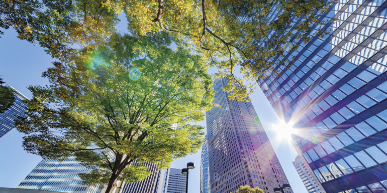
The geometry of the urban environment also influences the UHI effect. Tall buildings have extended and multiple surfaces that reflect and absorb sunlight, increasing the ability of urban areas to absorb heat. Tall buildings can also block wind, which inhibits any cooling of the surrounding area by convection while limiting air flow; this simultaneously enables pollutants to build up.
There is also anthropogenic heat – heat created by human activities – that comes from those occupying and using the buildings. The effects of anthropogenic heat depend upon the buildings’ occupants and the activity taking place within. All of these factors can influence the overall UHI effect and air quality of the immediate and extended environment.
Risks to public health
As temperatures rise and the frequency of extreme heat events increases, more attention is being given to the heat island phenomenon and societies’ ability to reduce its effects. Extreme heating events cause more heat-related deaths, a significantly higher proportion of which fall in urban areas. Research by the University of Birmingham in 2016 attributed 52% of the heat-related deaths in the West Midlands that occurred during the August 2003 heatwave to the UHI effect. More recently, the British Red Cross warned in 2021 that the number of heat-related deaths in the UK could more than triple by 2050, to around 7,000 a year.
Professor Alan Robins, Professor of environmental fluid mechanics at the University of Surrey, says: “Extreme temperatures during heatwaves will be more frequent in our cities, and this will lead to a greater death rate unless some interventions are put in place.”
Furthermore, the world is also witnessing rapid urbanisation, with the expectation that around 70% of the global population will live within urban environments by 2050. However, the leading solution to the influx of urban inhabitants has been to construct tall buildings, which allow for a high-density population and commercial activities to reside in city centres. Taller buildings also exacerbate the UHI effect, which could lead to worsening health outcomes.
Meanwhile, the Covid-19 pandemic has also highlighted the importance of predicting pathogen dispersion and the requirements of indoor and outdoor ventilation in urban areas. Therefore, the impact of the geometry of neighbourhoods and buildings on air quality has also become an area of interest.
It is in the public’s benefit to develop healthy and sustainable urban environments by ensuring that air quality, transport of emitted pollutants and the UHI effect do not reach unsustainable levels from poor urban development planning and a lack of strategic direction. Recent initiatives have started to promote urban health and sustainability research, such as Public Health England’s Healthy Polis, an international consortium of universities, local authorities, and environmental and public health organisations.
Predicting the weather
Much is already known about the overall UHI effect of cities. However, it is a much harder task to unravel the combination of different factors determining this and to thereby evaluate and predict their influence on the local climate and air quality in various weather conditions at specific times. Resolving these issues could prove invaluable in predicting and managing the effects of more extreme heat events in cities.
“There is a lot of observational data already, but predicting things such as air quality and surface temperature in large areas can’t yet be taken into account in most of the current methodologies,” Alan says.
“Then the big question is: how can you influence these effects? You’re not going to stop the atmosphere from warming to some degree. We’re going to have to live with that, and preferably without using any more energy. If you start using air conditioning as a solution, it may make indoor conditions acceptable, but at the expense of increasing the heat load outdoors, particularly in crowded, urban centres and there is no overall gain.”
A number of intervention strategies exist, but calculating and optimising their impact and assessing where best to locate them requires robust data for planners and local authorities. Alan says: “We’re seeing a lot of urban greening schemes. Trees do two things: they provide shade, which is something that’s going to help pedestrians, but also they can remove a lot of heat through the evaporation of water, and that is probably one of the best options for cooling. Another is to allow the wind to enter more freely into a city and thereby provide cooling.”
Weather exists in the short term; it is simply the state of the atmosphere in a specific area at a particular time. But this depends on a range of spatial and temporal scales – from large to small, over minutes, hours, days or weeks.
While monitoring and experimenting with the microclimates in a back garden is relatively straightforward, measuring and analysing specific influencing factors at city scale is challenging and highly complex. Temperatures within a single city may vary by as much as 8-11°C at certain times, so pinpointing the many variables in any one location at a particular time is difficult.
How do tall buildings affect the UHI?
In January 2021, the University of Surrey was awarded £1.8m from the Engineering and Physical Sciences Research Council to investigate how the increased construction of tall buildings will affect the meteorology, air quality and climate of towns and cities in the UK. Surrey’s research team is co-ordinating the project in partnership with the universities of Reading and Southampton.
The FUTURE (Fluid dynamics of Urban Tall-building clUsters for Resilient built Environments) project is developing a comprehensive understanding of how tall buildings disrupt microclimates in urban areas and contribute to the UHI effect and other health concerns. The project also aims to produce fast analytical models that can identify construction characteristics of buildings that have detrimental consequences to a local microclimate and pedestrian comfort, and assess what corrective actions can be taken.
FUTURE also aims to guide methods to predict pathogen dispersion and ventilation provision in tall buildings. Alan says: “Our project is about understanding the consequences of continued high-rise development and about the choices for mitigating adverse effects over a range of topics, including air quality, airborne diseases and various factors that see tall buildings contribute to climate and health concerns. What we’re primarily interested in with the FUTURE project is the continuing effect of tall buildings within the broader neighbourhood, not just in the space they occupy.”
Alan explains that, even though the proliferation of tall structures is likely to worsen some UHI-related problems, current weather and air quality models do not cater for them and their persistent effects on wind and temperature within urban neighbourhoods.

Six interventions that could limit urban heating
Design out heat
A variety of building heights can encourage better air flow, which moves heat away more efficiently. Meanwhile, passive cooling techniques such as planned shading can minimise the use of air conditioning.
Plan tree coverage
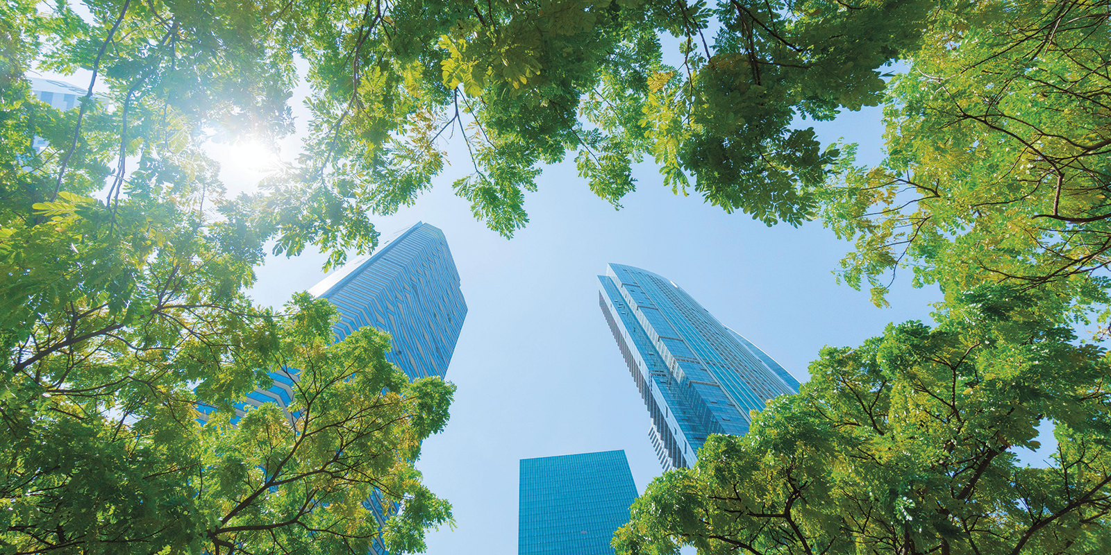
Trees produce shade and also cool the air through transpiration – the process of water movement through a plant and its evaporation from leaves and stems.
Shade structures
The use of arcades, awnings and pergolas in public spaces provide shade and cooling, and have long been common urban architectural structures in hot countries.
Green roofs and walls
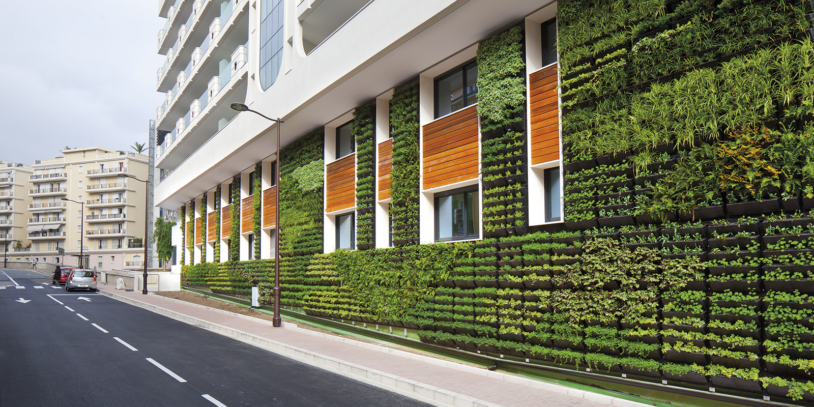
Planted roofs or rooftop gardens insulate buildings from heat and also cool the air through evapotranspiration. However, this kind of green infrastructure can be expensive and requires expertise to develop and maintain.
Painting roofs white
White and lighter colours reflect heat. While heat reflecting from the side of buildings can exacerbate the UHI effect by emitting heat into the streets, reflective roofs push heat upwards.
Combining different methodologies
The FUTURE project uses wind tunnel tests, field observations, high-fidelity computer-aided analysis and theoretical models to help overcome the current limitations of weather and air quality models.
To achieve this, several world-leading resources are supporting the project. Principally, this includes Surrey’s world-leading wind tunnel modelling and air pollution expertise at the Centre for Aerodynamics and Environmental Flow; the University of Reading’s meteorological and full-scale observation background; and the University of Southampton’s leading role in high-fidelity computational fluid dynamics.
The wind tunnel, which is 30 metres long, creates an airflow that mimics the conditions anticipated in the atmosphere at a small scale. The team will experiment with an array of scaled-down buildings similar in shape and height to the built environment of interest. Alan says: “You then use your instrumentation to measure the flow velocity and heat transfer fields, air quality and dispersal of pollutants, and the advantage is that you do it in a controlled environment.”

However, when you test specific buildings in cities in real life, you cannot control the weather. “It’s complicated because you can never do the same experiment twice, so it makes it difficult to develop reliable statistical information on field work alone. But you still need to do field measurements because you need to be grounded in reality. So you need both approaches,” Alan says.
The high-fidelity computational work then brings in a different level of detail. “Combining all three methodologies can then lead you to an understanding of the nature and extent of the problem and how it depends on parameters such as building geometry, the strength of the wind and sunlight,” Alan adds.
Dr Matteo Capentieri, Senior Lecturer in environmental fluid mechanics at the University of Surrey, says: “Each of the three methodologies we are using has its own strengths and weaknesses. For example, you can’t make field measurements generic because you cannot take trees out in the street and see what happens.”
The research will focus on tall buildings in isolation and their effects when clustered together. This is intended to enable a better understanding of the dependence of wind and temperature fields on the geometric parameters of such buildings. It will also allow the team to develop parametrisations – in other words, to express the relationships that influence the output. Meanwhile, open-source models are intended to support policymakers and regulators to help them build more resilient urban environments.
Dr Marco Placidi, Senior Lecturer in experimental fluid mechanics and part of the FUTURE project team at Surrey, says: “The importance of parametrisation is that you can try to generalise results from testing limited case studies in the wind tunnel and in the field. What you’re trying to do is take the results from those case studies and then generalise them to different cities, different environments and use that information internationally, rather than just at a very local level. So parameterising gives you that extrapolation to other contexts, where you wouldn’t necessarily be able to test for time limitations and the like.”
Outcomes
One of the things the FUTURE team proposes is to examine cases in central London and from them develop outcomes that have a more general utility. Marco says: “What we’d like to do, based on what we’ve measured, is to say when various factors are applicable in other situations – you can use the results to potentially help with urban planning in different places, not just in London.”
The aim is to create publicly available models that describe the effects of tall buildings for a range of different users. This will include rule-of-thumb design principles aimed at local authorities, and technical model parametrisations suitable for implementation in larger numerical weather prediction and air quality software, which will serve the operational modelling community.
Marco says: “Crucially, we want to provide citizens, policymakers and other decision-makers with the tools and knowledge necessary to make wise choices in the design and the placement of new buildings to develop more sustainable and resilient urban environments. In this respect, we hope FUTURE will be a significant step in this direction.”
Alan adds: “Accuracy is always a difficult thing, so results have to be good enough for the purpose. We want to develop methods to answer questions that a designer or a local authority might ask. Such as, ‘if I execute a major programme of planting lots of trees, what is the likely benefit of doing that?’”
Seeing the bigger picture
To manage and develop sustainable, resilient and healthy cities requires improved forecasting and observations that cross neighbourhood-influenced scales. Another project that dovetails with the University of Surrey’s FUTURE study is ASSURE (Across-Scale processeS in Urban Environments). Co-ordinated by the University of Reading, ASSURE addresses the important issue of which processes need to be parameterised and which must be resolved to capture the effects of urban morphology and diversity in space and time. The project received £3.3m from the National Environment Research Council in December 2021. “FUTURE looks at scales of the order of a couple of kilometres around specific buildings of interest. ASSURE looks at whole cities, and processes that occur across that whole area,” Alan says.
The ASSURE research will advance understanding to develop new approaches for larger-scale urban meteorological and dispersion models. Like FUTURE, it combines field observations, high-resolution numerical simulations and wind tunnel experiments.
ASSURE aims to understand how the terrain, physical setting, layout of buildings, neighbourhoods and human activities combine to influence the urban atmosphere. The project will help to clarify how street- and city-scale features influence the local environment. The project is also expected to provide new insights, extending the outcomes from FUTURE, on the role of variation in building form, local topography and human activities such as waste heat and pollutant emissions.
Smaller cities
The fieldwork and modelling focuses on Bristol, which has a physical geography that provides suitable complexity and allows a whole-city approach. Alan says: “We chose Bristol for a number of factors. Research in the UK is concentrated mainly on London and large cities globally. But medium-sized cities such as Bristol are far more common in terms of scale.”
Bristol’s high demand for housing also plays to the notion that growing cities will need to build upwards to accommodate their population. As mid-sized cities are large sources of greenhouse gases and are home to large numbers of people, it is important that agencies can provide weather and climate variability predictions for conurbations of this scale. Bristol also has many small-scale terrain features, such as hills and a gorge, that are not currently picked up by current meteorological models.
Alan says: “The weather forecast and climate models that the Met Office use cannot represent the intricate details of a small city. So something like the Avon Gorge in Bristol would not appear because it is too small. Yet it is a feature, we believe, that has a large local impact – but is on a scale current forecasting methods cannot directly resolve.”
The team works closely with the Met Office to understand the limits of what can be represented in meteorological models, while the agency and others like it are keen to improve the way they represent these types of cities in their modelling. These cities often don’t have a clear or structurally distinctive business area like those in the City of London or the financial district of Frankfurt, for example; they are, as Alan says, a messier environment.
ASSURE and FUTURE are respectively four- and three-year projects, and at very early stages of research. But their findings and modelling could well influence the shape of our cities as they develop and adapt to rising temperatures.


